GIS SERVICES & SUPPORT
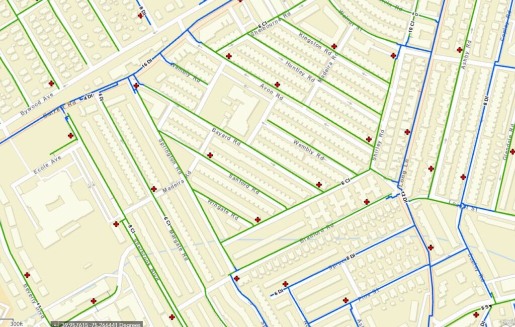
B-CAD provides GIS services using ArcGIS software for existing water and wastewater utility systems.
B-CAD is here to offer you valuable support in GIS editing, mapping, and data services to complement your in-house team. We invite you to explore the ways in which our expertise can seamlessly integrate with your existing personnel. Our team understands the importance of precise editing, accurate mapping, and reliable data management, and our seasoned professionals are ready to contribute their skills to enhance your projects. Connect with us today, and let’s discuss how we can collaborate to meet your specific needs. We aim to be more than just a service provider; we strive to be your partners in achieving successful outcomes.


