What Are Field Surveys and Why Are They Important?
November 8, 2022
The Basics of Field Surveys for Construction
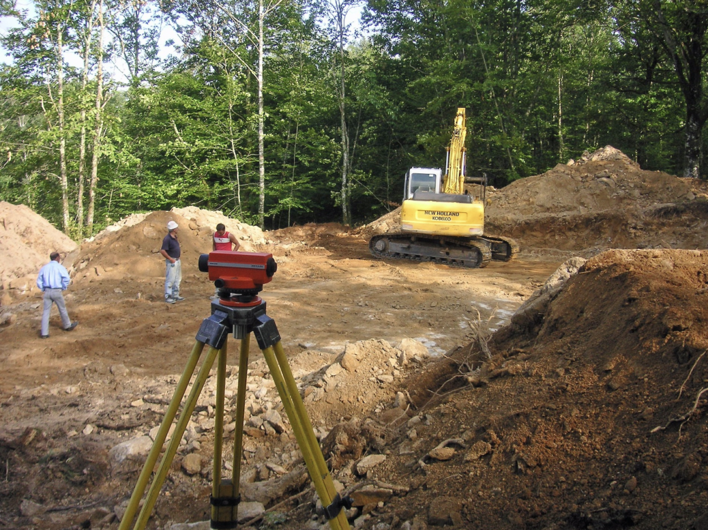
Field surveys are an important part of the construction process. They provide critical information that helps engineers, architects, and contractors design and build safe, efficient, and cost-effective projects. Without field surveys, construction projects would be much more difficult and expensive to complete. Field surveys are used to collect data about the property on which a construction project will take place, and or the existing features of a building.
This data includes the property’s boundaries, contours, existing features, and utilities. The surveyor who conducts the field survey uses this data to produce a map of the property. This map is then used by the design team to create the construction drawings. Today we will look at what exactly field surveys are, and why they are important.
B-CAD Goes Green! Our Environmentally Friendly Building
October 17, 2022
Reducing the Carbon Footprint One Building at a Time
When B-CAD decided to “Go Green”, creating an environmentally friendly building seemed like the next natural step. Designing and planning interesting buildings has always been our specialty, and our decision to go green with ours, was an exciting step for everyone involved. In 2010 B-CAD moved its office from Concord Plaza, where we were located for 23 years, to the former Talleyville Post Office on Concord Pike (Route 202). Our goal was to reuse/repurpose everything we could from the existing building. The lights, ceiling grid, doors, grilles and even some of the 2×4 studs were reused.
The Benefits of Converting Microfilm and Microfiche to Digital Files
September 16, 2022
Is converting microfilm and microfiche to digital really worth it?
These days almost everything has gone digital, and with good reason. When tasked with the job of scanning documents, you may be wondering why it’s necessary. After all, these files are already in a physical format, so what’s the harm in leaving them be? The truth is the benefits of converting microfilm and microfiche to digital files are plentiful for a number of reasons.
While microfilm and microfiche might not take up as much space as large prints and files, they still require much more space than a digital file. If you have your work saved in physical form only, you are also taking a risk. Scanned documents are less susceptible to damage than their physical counterparts. This means they’ll be around for years (or even decades) to come. Additionally, converting to digital files makes them much easier to store and access than physical microfilm and microfiche files.
The Evolution of Drafting
August 16, 2022
From The Earliest Blueprints To Modern CAD
The evolution of drafting has come a long way since its traceable beginnings in 2000 BC. We have discovered fossils showing aerial plans for Babylonian castles, structures and other buildings dating back to thousands of years ago. In 1905 the first modern drafting table was patented, and while the technology and process of drafting have changed significantly, the principles and techniques have remained the same throughout the years.
Modern CAD (Computer Aided Drawing) software was popularized in the 1960s for its ability to simplify the drafting process. Architects and designers appreciate CADs ability to create blueprints that are more detailed and editable. Digital technologies such as CAD allow architects to collaborate remotely and to make edits to plans in process much easier.
“What is GIS? Things to know about Geographical Information Systems”
July 20, 2022Who needs it, how is it used, and what are the benefits?
What is GIS?
A geographic information system (GIS) is a system that creates, manages, analyzes, and maps all types of data. This technology connects data to a map. A key function of GIS is that it integrates location data with other types of descriptive information. Basically it takes the location (where things are) and gives you the details (what things in that location are like). This is a far more advanced method than the previous mapping systems because you can include very specific details.
Almost every industry uses mapping systems, but geographic information systems allow you to better understand patterns and geographic context. This results in creating better foundations for relationships between items, locations and ideas in your design.
From Gutenberg to the Digital Age: Reprographics and Document Management
June 13, 2022What are reprographics?
Reprographics is a history of rapidly duplicating graphics. The term “reprography” was coined in the 1960s by the Haloid Corporation. It later became Xerox Corporation, to describe its then-new xerography photocopying process. This new process was significantly faster than previous methods of duplicating images, such as lithography or even photolithography. Reprographic history dates back to the early days of printing, when artists would manually copy images onto plates for printing.

(If you are old enough to have been in the working world in the 1960s, you are probably familiar with the use of the term “xerox” or “xeroxing” when referring to a photocopy or making a photocopy of a document. But the Xerox Corporation mounted a major campaign to protect their trademark, especially from the use of the word as a verb.)
What is digital reprographics?
Reprographics refers to the art and science of creating copies of images and documents. Today, reprographics is mainly used for photocopying, scanning, and printing documents. However, the term can also refer to the creation of digital copies of images and documents. This is because the term applies to both physical (hard copy) and digital (soft copy) reproductions of documents and images.
In the business world, reprographics is often used for marketing and advertising purposes. For example, businesses may use reprographics to create copies of product brochures or marketing collateral. In the academic world, reprographics is often used for research purposes. For example, students and scholars may use reprographics to create copies of archival materials or primary sources.
Revit Software Takes Lead in CAD Training
May 26, 2022
First there was CAD, Computer Aided Drawing in the late 1950s. Then there was AutoCAD which made CAD software available for PCs instead of only mainframe computers. And MiniCAD, software just for MAC computers, software for MAC computers, followed by additional options for AutoCAD such as a mobile version.
The Basics of BIM: Building Information Modeling Explained
April 28, 2022Understanding Building Information Modeling
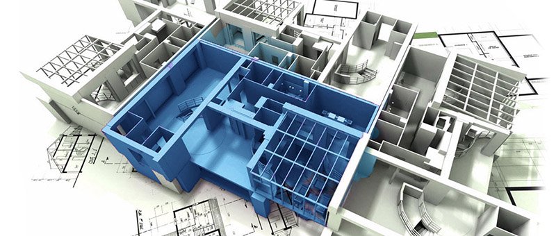
Building Information Modeling, known as BIM, has several definitions. In simple terms, it is the process of creating and managing information for a constructed asset. This includes; buildings, bridges, dams, or any of a wide range of structures. BIM is a digital representation of the project’s functional properties and characteristics. It is a comprehensive process for creating, managing, and using the entirety of the data about a specific project. It provides the architect, designer, or builder with the ability to manage every component. This includes; physical properties, graphic look, and the functional properties that goes into a project.
BIM services involve the development of an advanced 3D model for a proposed project and includes all structural, architectural, and mechanical/electrical/plumbing components.
What Is the Typical Cost to Outsource Drafting Services?
December 20, 2021You can outsource drafting services to increase your productivity, by moving drafting and 3D modeling off your plate. Outsourcing these architectural services will enable you to concentrate on the core tasks of construction and overall planning. If you’re thinking about doing so, you’re likely wondering how much do drafting services cost.
So, what is the typical cost to outsource drafting services? You can expect to pay $100-$130/hr. So, for an A0 drawing of a house that takes 8 hours to complete, for example, outsourcing drafting services could cost between $800-$1,040. However, the cost for drawings and graphs can vary depending on the services you need, the scope of your project, and your project deadlines.
Read further to learn more about our drafting services and why it may help your project by taking it “out of house.”
How Much Does It Cost To Print Blueprints (in Large Format or Small)
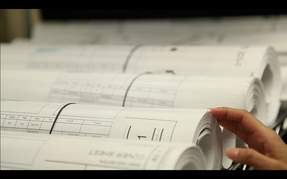
November 10, 2021We often work with engineers, architects, drafters, and other clients who need their drawings or blueprints printed so they have a portable, visual representation of how a building or project is to look.
Professional, large-scale printing is often among the first steps to making a concept become a reality. So, how much does it cost to print blueprints?